Artificial intelligence (AI) is everywhere. From smartphones and laptops to customer service and support to brushing your teeth, AI is being weaved into almost everything you do in your life, whether you like it or not.
It is enough to give you AI fatigue. But every so often, a useful case pops up that makes us stop and think that it might all be worth it in the end.
Take the weather, for example. Predicting when it will rain in Ireland might be a bit easier than in other geographies – “most of the time” is the usual answer – but your smartphone can now reliably tell you that the rain is predicted to start shortly after 1pm so you can get the washing in before it lashes.
In recent years, that expertise has been expanded. It comes at a time when extreme weather events are occurring more frequently throughout the world.
READ MORE


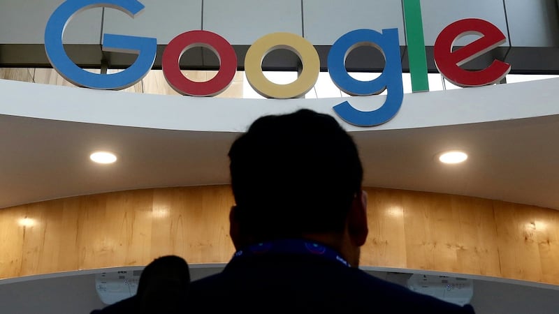
Tech giant Google has been working on a better way to map the natural disasters we experience, and by extension, come up with a way to predict them and highlight the communities that could potentially be affected.
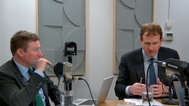
Helping drive this effort is Luke Barrington, the Dublin-based director of Google Earth AI.
The problem? Mongolia. Particularly the area of the country where Khan’s tomb is suspected to lie
Barrington has worked with Google since 2016, when he joined the company’s innovation laboratory X. The unit is tasked with “moonshot” technology, trying to come up with radical solutions to help solve some of the world’s biggest problems. From there he spent time at Wing, the drone arm of the group, and launched the commercial test of food delivery in Australia.
He now heads up Google Earth AI, the company’s project that brings together Google’s Earth and its Gemini AI systems to build on the power of both.
Launched in July, it turns terabytes of data into useful insights. Where are the most severe storms hitting? What communities can be impacted by wildfires?
“The whole premise of Earth AI is we have data about the Earth in increasingly large volumes,” he says. “We have satellite images, weather radars and simulation outputs, people driving around their cars and GPS traces. And similarly they might be able to make predictions about the Earth.”
Barrington’s route to Google wasn’t straightforward. Originally from Dublin, he moved to the US in the early 2000s for a PhD at University of California San Diego. His PhD thesis pioneered the use of online crowdsourcing to train smarter machine learning algorithms, eventually becoming the basis for his first company, Music Search.
That in turn led on to Tomnod, an online crowdsourcing community that brought millions of contributors together to explore satellite images to pinpoint interesting information about the planet.
[ Google brings AI Mode search feature to users in IrelandOpens in new window ]
“This friend of mine had a crazy idea. He graduated with his material science PhD, and he said, ‘next thing is I’m going to go find the tomb of Genghis Khan. It’s my life’s calling’. So we said ‘right, we’ll help you’.”
The problem? Mongolia. Particularly the area of the country where Khan’s tomb is suspected to lie, is a difficult place to reach and is covered in snow for much of the year. But technology and data could provide the answer.
“Someone read about our story and one of the satellite imaging companies sent us a hard drive full of satellite images of Mongolia,” he explains. “We started poring over all these pixels, looking for clues for where this tomb was – archaeological sites, maybe old roads.”
But this was the first time he had seen satellite imaging like this, and their expertise was limited. So they called on the power of crowdsourcing.
“I can make an algorithm to find the tomb of Genghis Khan. What I need are a thousand examples of the tomb of Genghis Khan, and I can train my machine to find that, but of course, we didn’t have that. Getting the people to help feed the machine was always the plan,” he says.

“We ended up going to Mongolia on three expeditions. I was riding around on a horse with an iPad following clues that people on the internet had tagged on satellite images on a web page. It was mad.”
Although the exact location of the Genghis Khan tomb is still unconfirmed, Barrington and his team’s efforts did end up contributing to having a site declared as a Unesco World Heritage site.
Tomnod became much more than a search for a historical tomb.
In the following years, it was used to track disaster damage, for example, such as mapping the impact of Cyclone Pam in Vanuatu. After Malaysian Airlines flight 370 disappeared in 2014, Tomnod’s network was also used in the search for the plane.
Volunteers tagged objects and areas of interest they spotted in satellite images, trying to locate the wreckage of the plane.
The start-up was acquired by DigitalGlobe in 2013, with Barrington moving to the new company to continue his work, before taking up a research role with Google. It is all connected though.

“This all came full circle for me just a few weeks ago. We’ve just launched one of our satellite image AI models inside of Google Earth. Now, Google users inside Google Earth can just type in, ‘Find me all the solar panels in Dublin or all the parks’, running those text queries through our AI model and then putting all the pins on the Google Earth map of where the things are.”
The technology has the opportunity for more though, with Google applying AI to weather forecasting.
“Over the last couple years you’ve really seen that kind of tipping point where the traditional meteorological physics-based models that we’ve relied on for the last 50 years, we’re seeing the AI models match and even exceed them in quality and not just for the short-term but for that kind of regular two-week forecast, and then increasingly for these more extreme, long tail events like big hurricanes, floods and fires and all that kind of stuff.”
[ Earth saw ‘spiralling weather and climate impacts’ in 2024, WMO report findsOpens in new window ]
Where the technology has some real application is when it is handed over to the experts.
Google’s research team has been working on an experimental hurricane forecasting model, based on AI forecasts. The idea is that anyone can look at it, download it and see the forecasts. But Google has also been working with the National Hurricane Centre in Florida.
“They have expert meteorologists doing this for decades who are sitting in front of seven computer screens that are showing different forecast models, different sensors and different outputs, and then they are synthesising all that information together,” he says.
“What we found is, by giving them our forecast, it’s just going to give them another tool on their toolbox. They’ve been giving us really good feedback.”

Google has been working on this for some time, building data from its Google Earth and Google Maps products. Machine learning has fed into this, but with the development of the next generation of AI, it now has a way to take all that data and offer it up with an easier way to access it.
“Any business, any government, any, random grad school project to go look for a tomb was always kind of stymied by the fact that you need to have so many different kind of skill sets coming together,” says Barrington.
“What we’ve really been trying to do over the last couple of years is just lower that bar as the models and the methods have gotten more powerful – how do we get them into the hands of more people?”
For consumers that is as simple as googling the weather, and getting AI results back. But for businesses – the insurance industry for example – the improved data and the AI predictions would allow them to target what they offer to customers, and what they don’t.
[ AI needed to help Ireland’s infrastructure withstand climate disasters – DeloitteOpens in new window ]
Barrington thinks it may work out better for consumers in the long run, as it means companies wouldn’t put a blanket ban on insuring anyone living in a certain area.
“One of the reasons we’ve seen that pullback, for example, for fire insurance in California, has been the lack of precision in the existing data,” he says.
“Insurance companies have been trying to get more targeted on how they understand this crisis data and then use that to make those decisions, which – and ultimately we’ve seen evidence of this – will make the companies able to extend coverage to more people, and I think also give the homeowners better information.”
The development of these models has also had another impact – showing up the gaps in the data. That has allowed those involved in this area to take steps to bridge the gaps – launching new satellite constellations, for example – and make sure the models are getting the best possible data.
That is even more important when the shifting climate is taken into account. Recent years have seen increasingly erratic weather events, from polar vortexes to the strongest hurricanes in more than a century.
“As the climate is changing, we don’t necessarily have 50 years of observations. The one-in-100 year storm isn’t one in 100 years any more. So how do the models account for that? It’s still early, we’ve seen some very promising initial results there,” he says, giving Hurricane Helene as an example.
“It was an unusual pattern, but the models are actually picking up that and predicting it, you know, as well as, or better than the kind of traditional model. We’re seeing that, just like with many other domains of AI, give it enough stuff to learn from, and it starts to come up with really unique and novel patterns.”
The work on Earth AI also gave Barrington a chance to return to Ireland with his family. After two decades in the US and a stint in Berlin, the opportunity came up to relocate to Dublin, which plays an important role in the new Earth AI function.
The data collection for Google Maps is run out of Dublin – figuring out which satellite images to buy, which aeroplanes to fly and where, where the StreetView cars are deployed and how all that feeds into Google Maps to keep it as current and accurate as it can be.
“That’s the fuel for all of this Earth AI and work that we’re doing,” Barrington says.